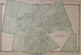
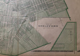
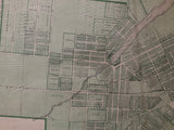
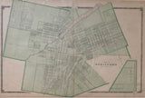
1879 Antique Map of the Town of Stratford [Perth County, Southwestern Ontario]
Scale 10 chains - 1 Inch
17 1/4 x 28 inches (43.9 x 70.1cm)
original antique map (some light soiling, couple short tears to edges, stain along centerfold).
from Historical Atlas of Perth County Ontario, Toronto: H. Belden & Co., 1879.
Landmarks include: various land development plans/surveys, Mill pond, Avon River, cemetery, the Buffalo & Lake Huron Railroad, the Grand Truck Railroad and street names.
Go back in time and trace the history of the Ontario & it's ancestors and maybe even your own!
own a piece of Ontario Local History & Genealogy
We can see that Stratford was in a period of growth and development with the amount of plans and surveys proposed by various Stratford property owners at the time of this maps creation. Forman's Survey found in the upper left corner of this map is land owned by George Forman. Forman settled in Perth County in 1846 and is listed as a land & loan agent and conveyancer in the Patrons Directory of this atlas.
~If you're looking for a particular town, city, township or county please contact us and we will let you know what we have.
*Map will be mailed flat and not in a tube. Please contact us if you would prefer to have it rolled
**Custom Framing available! Please contact us for details.


