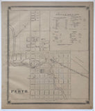
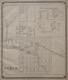
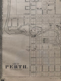
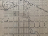
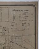
Antique Map of the Town of Perth 1879 [Lanark County, Eastern Ontario]
Scale 30 Rods = 1 Inch
19 x 16 inches (48.4 x 40.7 cm)
sheet measures: 20 3/4" x 17 3/4"
original antique map (some light staining to lower margin, and 1 faint spot below the statistics)
from The New Topographical Atlas of The Province of Ontario. Toronto: Miles & Co., 1879.
Landmarks include: Tay River, Rev. William Bain - Church of Scotland Glebe, Roman Catholic Church, Methodist Church, parsonage, Presbyterian Church, Knox Church, Baptist Church, Cemeteries, Court House, Brewery, carding mills, tanneries, Town Hall, distillery, mills, R. Shaw's Foundry, post office, Wood Shed, Perth Branch of Brockville & Ottawa Railway, Railway station house, turn table, engine house, Freight Shed, Murray & Miller's foundry, Furniture factory, High School, Stewart Square, J.G. Malloch (Judge) and street names
Includes a statistics legend of the County of Lanark in the upper right corner.
Go back in time and trace the history of the Ontario & it's ancestors and maybe even your own!
own a piece of Ontario Local History & Genealogy
Featured on this map is residence of Judge John Glass Mallochin, who erected Victoria Hall in 1858, one of the finest private residences then in existence in the eastern Ontario and a fine example Early Victorian architecture in Perth. The home was named after Victoria, the reigning Queen at that time. In 1922, the Board of the Perth and District War Memorial Hospital acquired the property and in 1923 it opened as the Perth Memorial Hospital.


