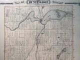
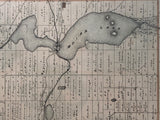
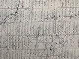
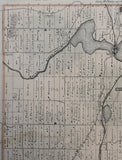
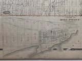
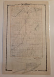
1878 Antique Map of Huntingdon Township [Hastings County, Central-Eastern Ontario]
Scale 50 Chains per Inch
25 x 16 3/4 inches (63.9 x 42.4 cm)
sheet measures: 27 3/4" x 17 1/2"
original antique map ( 1 inch tear to bottom edge, small loss near Bay of Quinte, long approx. 3.5 inch tear to right edge, some offsetting & spotting).
from the Historical Atlas of Hastings and Prince Edward Counties, Toronto: H. Belden & Co, 1878.
Landmarks include: Mill Point, Bay of Quinte, Rawdon Creek, Huntingdon, Belleville- N. Hastings Railway, Moira, Roslin, Fuller, Ivanhoe, Moira Creek, Moira Lake, Boyne Creek, part of Madoc, cheese factories, Orange Hall, Tavern, stores, churches, schools, some street names & landowners.
Go back in time and trace the history of the Ontario & it's ancestors and maybe even your own!
own a piece of Ontario Local History & Genealogy
~If you're looking for a particular town, city, township or county please contact us and we will let you know what we have.
*Map will be mailed flat and not in a tube. Please contact us if you would prefer to have it rolled
**Custom Framing available! Please contact us for details.


