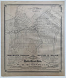
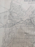
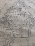
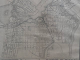
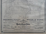
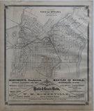
19 x 16 inches (53.4 x 44.3 cm)
sheet measures: 21" x 17"
Original antique map (one short tear, light stain to lower left margin).
from The New Topographical Atlas of The Province of Ontario. Toronto: Miles & Co., 1879.
includes: Hull, Victoria Ward, Rochesterville, Orangeville, Stewarton, Wellington War, New Edinburgh, Ottawa Ward, By Ward, St. George's Ward.
Landmarks include: street names, Rideau Canal, Ottawa River, Rideau River, orange halls, fire stations, Ladies College, Gowan's Opera House, Bank of British North America, Parliament buildings, Police court, City Hall, Russel House, Daniels Hotel, Bank of Montreal, market, St. Patrick's Hall, Temperance Hall, Union bank, hospitals, jail, Albion Hotel, St. Josephs College, Rideau Hall & Governor General Residences, Chaudiere Falls, Anglesea Square, Green Island, Rideau Falls, O.R.N. Co. Office and landing, immigration office, telegram office, Lake Elora, Chaudiere Island, Victoria Island, banks, orphanages, churches, schools, St. Lawrence & Ottawa Railway, Canada Central Railroad, railroad stations and registry offices.
includes an advertisement for Ottawa Marble and Granite works established 1860 by W.M. Somerville on Rideau Street, Ottawa.
Go back in time and trace the history of the Ontario & it's ancestors and maybe even your own!
own a piece of Ontario Local History & Genealogy
~If you're looking for a particular town, city, township or county please contact us and we will let you know what we have.
*Map will be mailed flat and not in a tube. Please contact us if you would prefer to have it rolled
**Custom Framing available! Please contact us for details.


