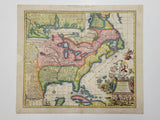
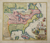
18th Century Antique Map of North America
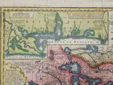
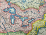
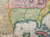
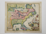
Georg Matthäus SEUTTER [1658-1756]. Accurata delineatio celeberrimae Regionis Ludovicianae vel Gallice Louisiane et Canadae et Floridae… Matthai Seutteri S.C.M.G. Augustan… [Augsburg: c1720]. M. Rhein sc. [Inset Map: Les Costes De La Louisiane].
19 3/4” x 22 3/4” (49.8x 57.3 cm).
original antique engraving.
full hand colour (horizontal & vertical folds, margins chipped & foxed, several tears & small holes to folds – backed).
____________________________________________________________________________________________
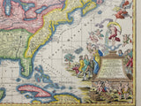
Seutter’s Accurata delineatio shows North America from Labrador to Florida and from Newfoundland to New Mexico. The map locates forts, tribes, towns and settlements, lakes and rivers. The decorative large cartouche, satirizing the Mississippi Bubble investment scheme, shows a female pouring gold while standing on a bubble, cherubs and females distributing stock certificates and blowing bubbles and despairing investors.


