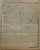
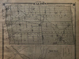
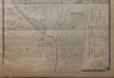
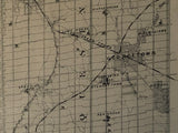
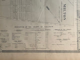
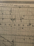
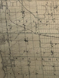
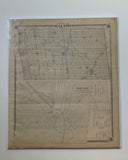
1879 Antique Map of the County of Halton & Town of Milton [Halton County, Southern Ontario]
19 1/4 x 16 inches (48.5 x 40.5 cm)
sheet measures: 21" x 17 3/4"
original antique map (some spotting & soiling, lower margin chipped, small hole to left margin, upper right corner creased, slight cockling by left border).
from The New Topographical Atlas of The Province of Ontario. Toronto: Miles & Co., 1879.
Landmarks include: Ballinadad, Silver Creek, Glen Williams, Credit River, Silver Creek, Georgetown, Norval, Esquesing, Stewarttown, Ashgrove, Hornby, Auburn, Drumquin, Credit Valley Railway, Traflager, Dundas Street, Sheridan, Oakville, Acton, Grand Trink Railway, Limehouse, Speyside, Mansewood, Peru, Milton, Boyne, Omagh, Hamilton & North Western Railway, Palermo, Sixteen Mile Creek, Great Western Railway, Bronte, Grand River, Eden Miles, Knatchbull, Darbyville, Nassagaweya, Moffatt, Haltonille, Campbellville, Kilbride, Cumminsville, Willbrook, Lowville, Zimmerman, Nelson or Hannahsville, Twelve Mile Creek, Appleby, Brant Farm, Freeman, Burlington, Port Nelson, Lake Ontario, schools & churches.
Milton Landmarks Include: Court, House Square, Market Square, Agricultural Grounds, Market Qaure, Mill Mont, Sixteen Mile Creek, Hamilton & North Western Railway, Credit Valley Railway, Cemetery & street names.
Includes a statistics of the County of Halton.
Go back in time and trace the history of the Ontario & it's ancestors and maybe even your own!
own a piece of Ontario Local History & Genealogy
~If you're looking for a particular town, city, township or county please contact us and we will let you know what we have.
*Map will be mailed flat and not in a tube. Please contact us if you would prefer to have it rolled
**Custom Framing available! Please contact us for details.


