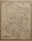
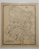
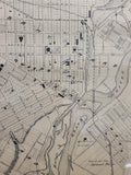
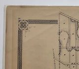
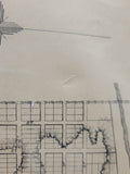
Scale 10 chains to 1 inch
21 x 17 1/8 inches (53.3 x 43.5 cm)
original antique map (slanted crease in upper left corner, surface abrasion to blank area in upper right area of map).
from The New Topographical Atlas of The Province of Ontario. Toronto: Miles & Co., 1879.
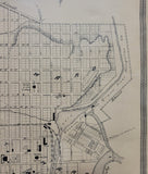
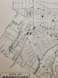
Landmarks include: Grand Truck Railroad (G.T.R.R.), Buffalo and Lake Huron Railway (B&LH Branch G.T.R.Y.), Railway station, Brant Farm, Agricultural grounds, Grand River, Kerby’s Island, Grist Mills, a brewery, Court house, Post office, Town Hall and Market Square, Kerby House, a hotel, Brant Hotel, American hotel, station grounds, a public cemetery, schools, churches, streets and others
Go back in time and trace the history of the Ontario & it's ancestors and maybe even your own!
own a piece of Ontario Local History & Genealogy
~If you're looking for a particular town, city, township or county please contact us and we will let you know what we have.
*Map will be mailed flat and not in a tube. Please contact us if you would prefer to have it rolled
**Custom Framing available! Please contact us for details.


